
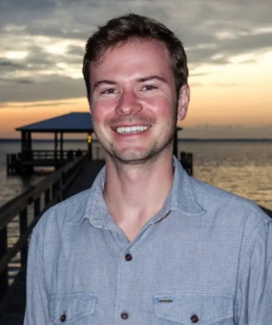
Brad comes to BTT after about ten years supporting NOAA’s Office of Water Prediction, most recently as program manager at Entarian where he oversaw the development of the next generation of nationwide flood forecasting models. His work included geospatial data management, software development, business development, and contract management.
Brad earned his BS and MS at the University of Alabama and spent 2 months in Southern Belize for his thesis, advised by Dr. Michael Steinberg, mapping bonefish, permit, and tarpon and their threats. That work gave Brad a deep respect for the local knowledge held by guides and other stakeholders. Brad also worked with BTT and the NPS to map channels in the Everglades to reduce propeller-scarring. He also helped map seagrass and mangroves in the Xcalak. In his free time, Brad enjoys destination angling, staying active, and learning Spanish.